
Laser Scanning
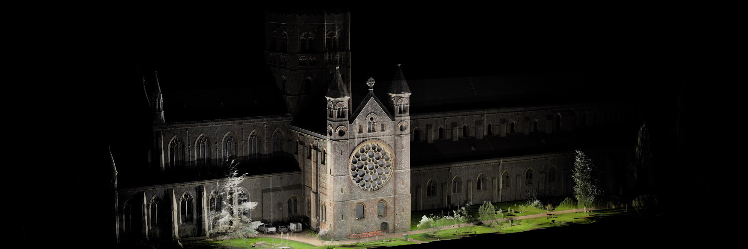
Laser scanning (or LIDAR - Light Detection and Ranging) is the process of collecting 3D coordinate measurements by using a laser beam directed onto a rotating mirror, allowing distance and angular measurements to be taken in every direction.
By positioning the laser scanner in multiple locations around an object of interest it is possible to very quickly collect a comprehensive data set, known as a point cloud, containing millions of measured points.
The point cloud contains highly accurate and detailed information from which 2D drawings and 3D models and meshes can be extracted.
What We Offer
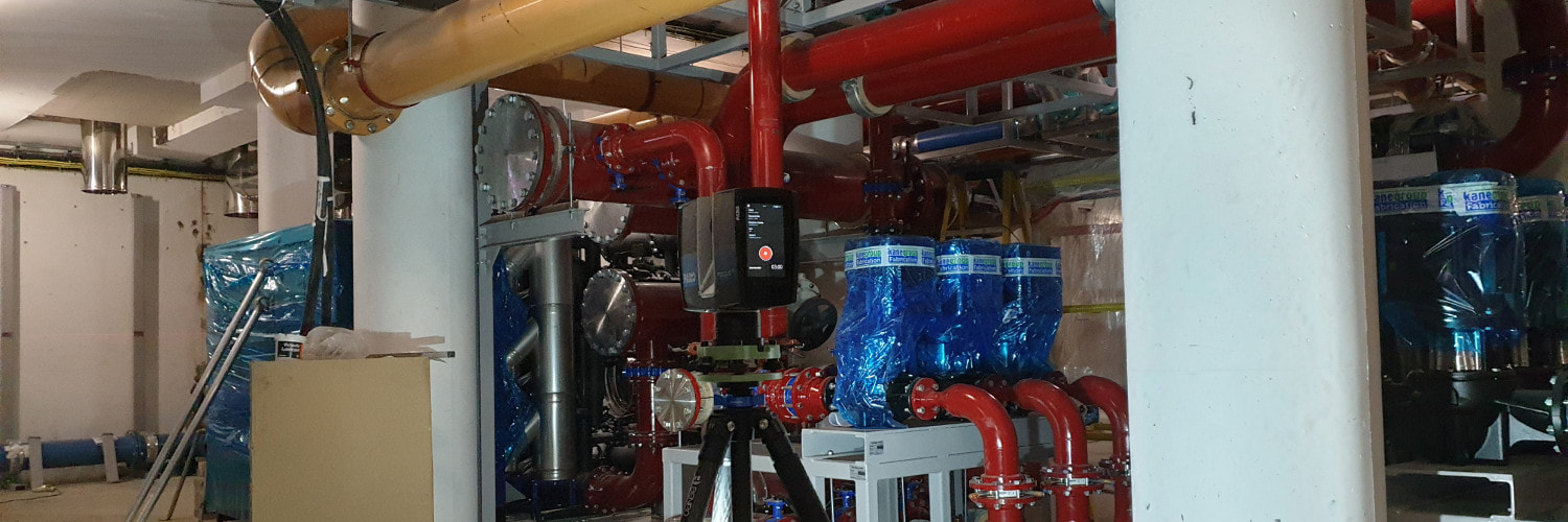
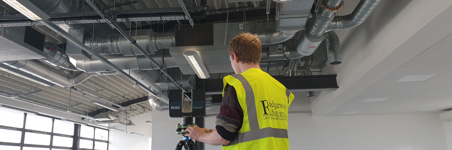
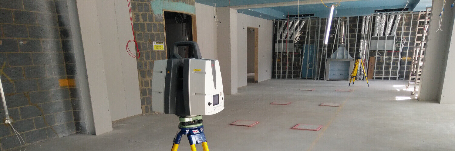
Using the latest 3D laser scanning technology Ridgeway Surveys are able to quickly capture millions of co-ordinated measurements and create a highly accurate and detailed data set of 3D measured information of your building or site in a very short space of time compared to more traditional surveying methods.
The comprehensive coverage achieved by a laser scan survey eliminates costly return site visits and the speed of data collection minimises the time spent on site.
These benefits, along with the wide variety of applications 3D point cloud survey data can be used for, make laser scan survey the most beneficial means of survey on many projects.

Our laser scanning services include:
- Point Clouds
- BIM and Revit Modelling
- Virtual Tours
- Clash Detection
- Floor Levelness Surveys
- Mobile Mapping
- Plant Rooms and MEP
- Infrastructure Surveys