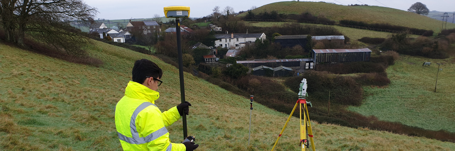
Topographic Surveys
Whatever the project being considered, accuracy in planning is key.
A topographic survey produces a detailed scaled plan identifying both the natural and man-made features within an area of interest.
This typically can include ground levels, buildings footprints and boundaries. Other information (e.g. service cover positions, surface finishes and changes of surface, kerb lines, building eaves and ridge heights, etc.) can also be included depending on the level of detail required in the survey.
The existing detail of an area may be required for either record or planning purposes and a thorough survey reduces the possibility of making costly mistakes at a later stage if unforeseen problems are uncovered.
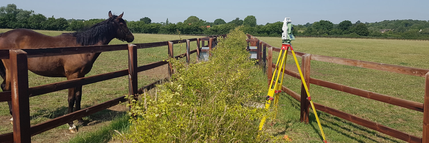
What We Offer
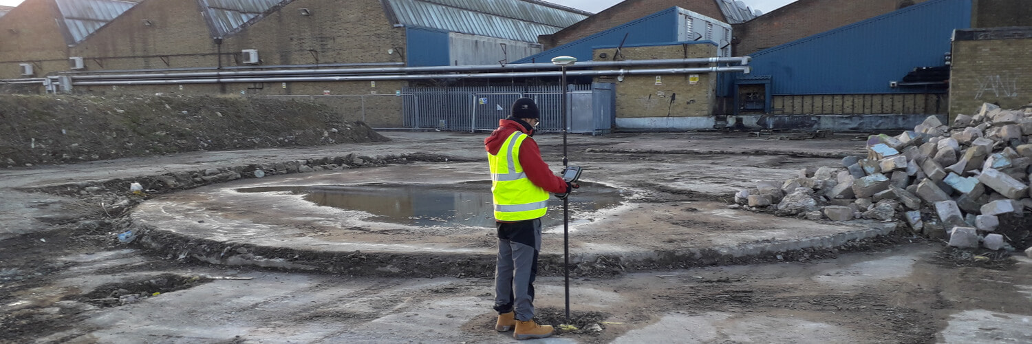
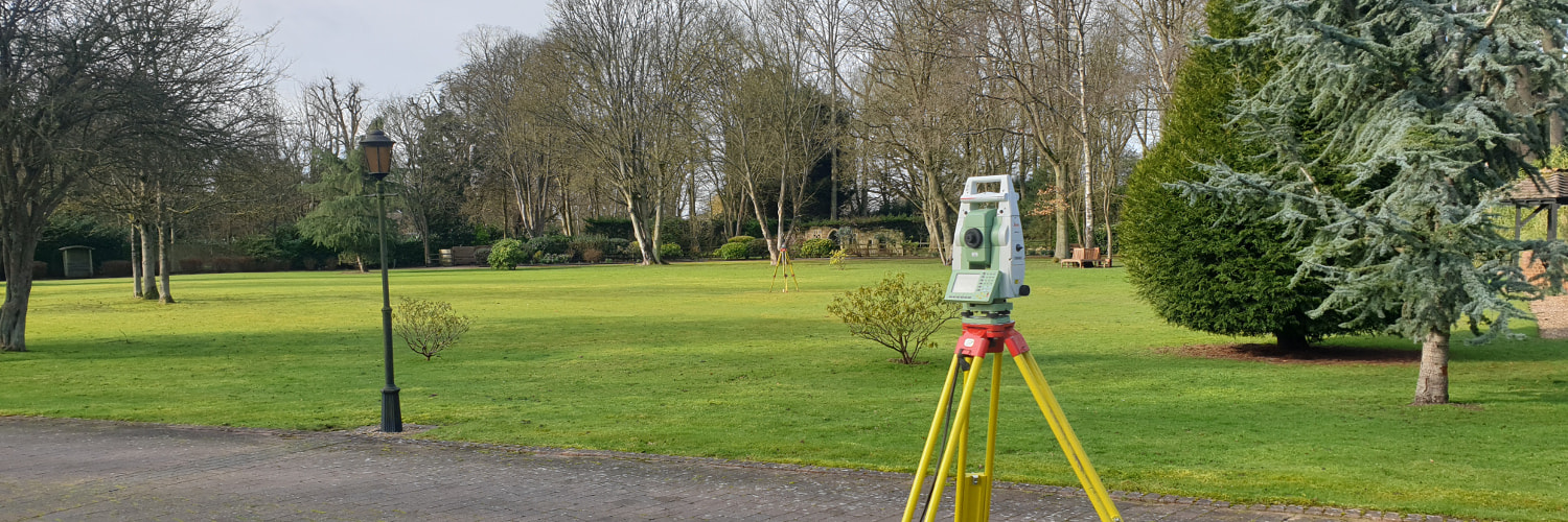
Ridgeway Surveys make use of the latest state-of-the-art surveying equipment (including robotic total stations, GPS, laser scanning and drones) to capture your site.
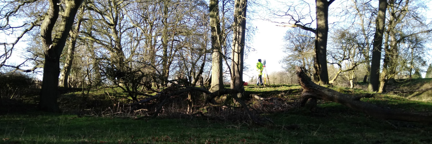
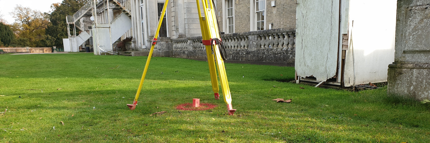
Our experienced land surveyors will collect, process and deliver your topographic survey data accurately and quickly. Topographic Surveys, Utility Surveys, Level Surveys, Boundary Surveys are provided as part of our accurate, efficient and reliable land surveying service. Our services include:
- Small and Large Scale Topographic Surveys
- Utility Surveys
- Level Surveys
- Boundary Surveys
- Digital Terrain Models
- Mobile Mapping
- Aerial Surveys and Inspection
Survey drawings can be supplied in many formats including 2D and 3D AutoCAD drawings, PDF, 3D AutoCAD models and Revit models. Paper copies can also be provided.
For an accurate and detailed topographic survey of your site

References
TSA Client Guide to Topographical Surveys
RICS Measured Surveys of Land, Buildings and Utilities (3rd Edition)
